Immersive virtual tour
Clear, high-quality capture that gives visitors a genuine sense of the place on mobile and desktop.
360Riyadh · Digital place experiences
Since 2010, we have created virtual tours and interactive experiences for real places across Saudi Arabia. We begin with authentic imagery, then add content, intelligence and the technology that makes exploration clearer, easier and more useful.
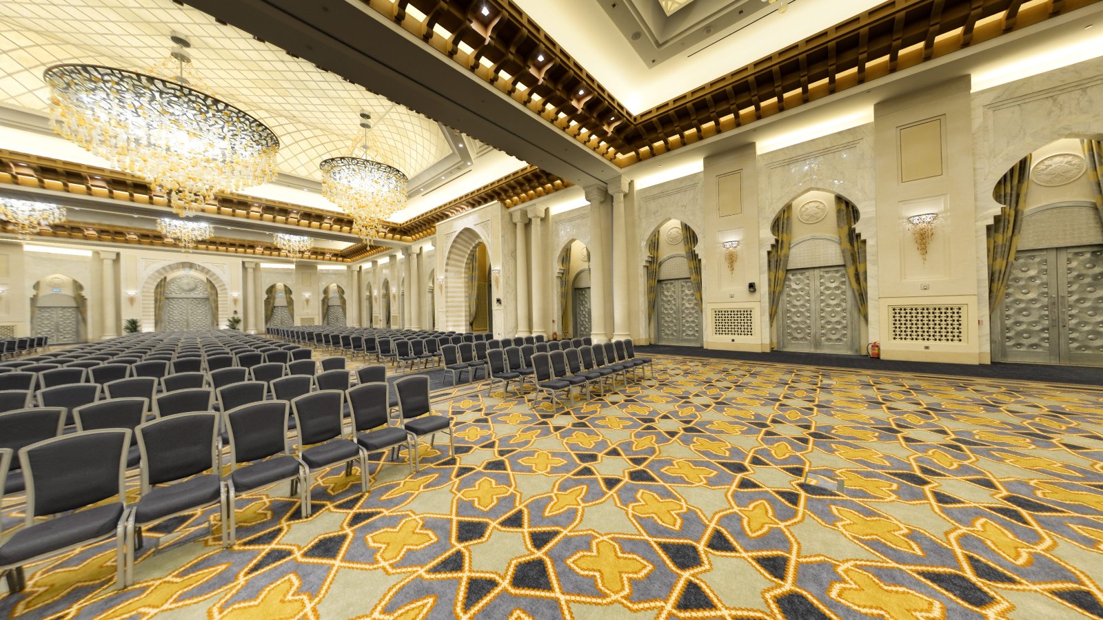 Hilton Jabal Omar virtual tour
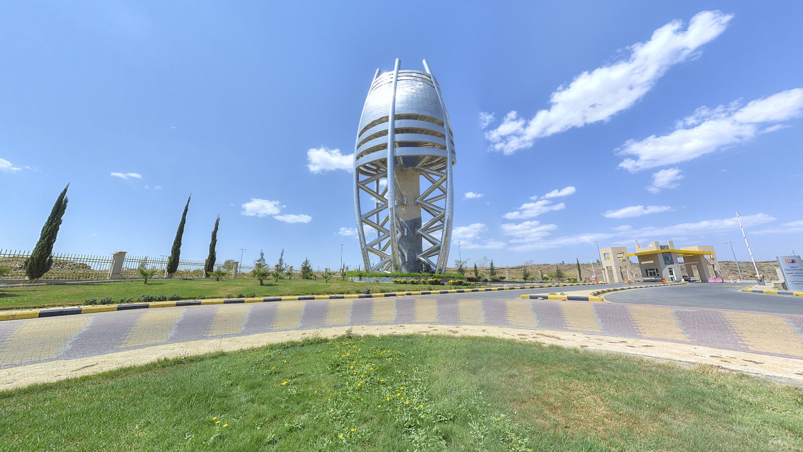 King Khalid University experience
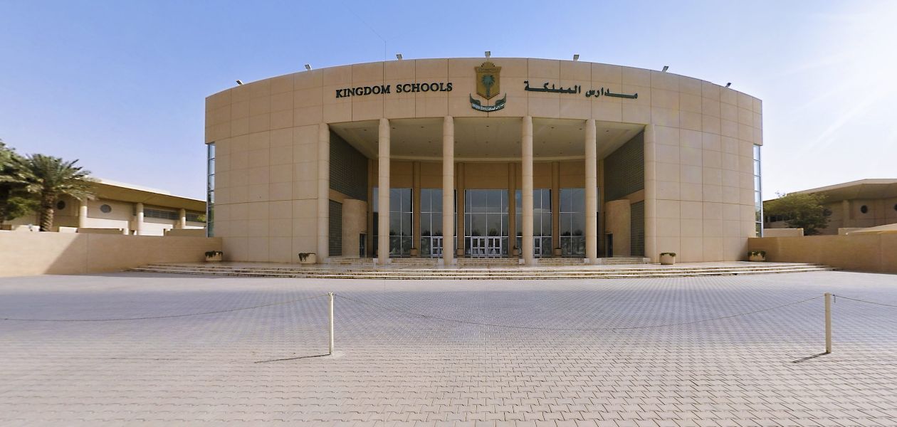 Kingdom Schools virtual tour
Who we are
360Riyadh began by capturing places in 360°. Our work has since expanded into custom tour design, interactive content, voice experiences, AI, mapping and navigation whenever a project truly needs them.
We do not begin with the technology we want to showcase. We begin with the outcome the project needs, then build the right experience around it.
What we build
Clear, high-quality capture that gives visitors a genuine sense of the place on mobile and desktop.
Information, stories, images, links and actions appear in the right place and context.
Search, questions, explanations and recommendations help visitors find what matters faster.
We add mapping, navigation or location data only when it serves the project outcome.
Value for the project
Every experience is designed around its audience and the decision or knowledge they need.
Present the place realistically and build trust before a visit or booking.
Explain facilities, services and content through a visual, interactive format.
Help visitors understand the place and find what they are looking for.
Give customers a complete picture that supports the next step.
Where we work
Present rooms, dining and event spaces while supporting booking decisions before arrival.
Introduce facilities and services to students and parents while delivering learning and orientation content.
Market attractions and large venues while making them easier to explore and share.
How we work
We define the audience, the desired result and what visitors should know or do.
We produce the scenes and organise facilities, information and place-related content.
We build the interface, search, voice, AI or navigation according to the project need.
We validate the experience on mobile and desktop, then launch one shareable link.
Experience you can see
Our work spans hospitality, education, healthcare, sport, real estate and large organisations. The best way to understand it is to experience the published examples.
Your next project
Tell us about the place and the outcome. We will recommend the right experience instead of selling technology you do not need.
Need More Info?